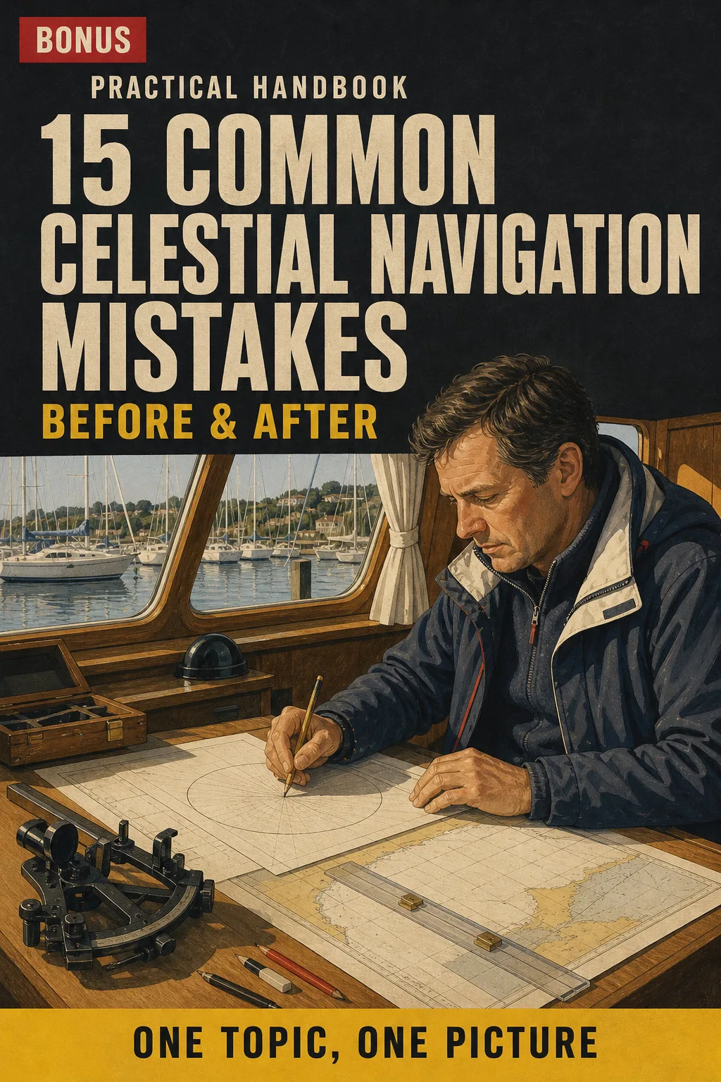
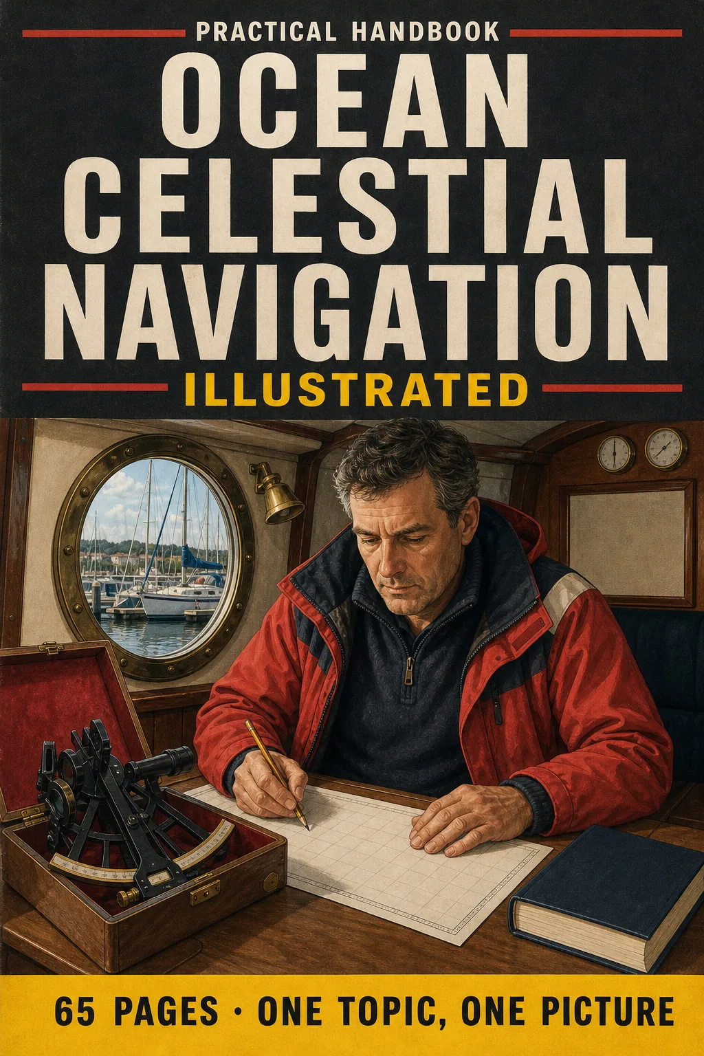
📄 Digital book in PDF · read it on your phone or print it
Written for UK ocean shorebased courses, with The Nautical Almanac, AP 3270 and the terms your instructor uses. The sextant, index error and dip, time, sight reduction, the noon sight, star sights and passage planning: every topic has its own page, the drawing first, then what you need to remember. 65 illustrated pages.
🔒 Secure checkout · PDF by email · 30-day guarantee
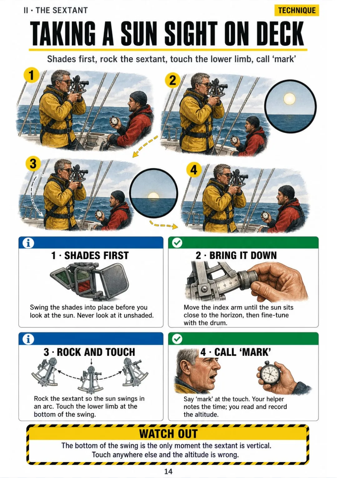
Every page has one large drawing and a box with the corrections, signs and steps you need to know:


Swipe to see more →
These are real pages from the book. The table of contents is the full one: 8 parts and 61 topics.
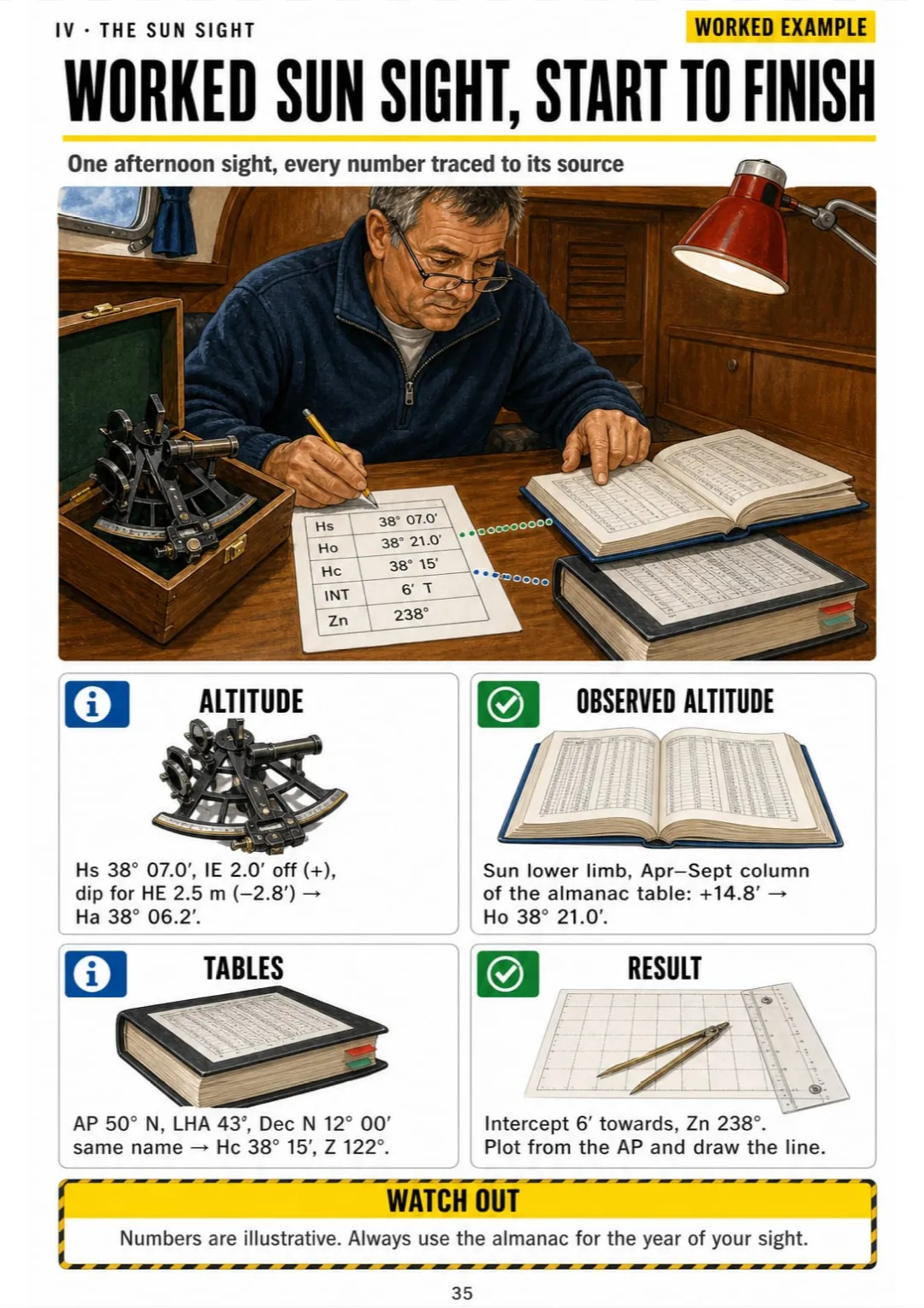
It's Sunday evening at the chart table. You've worked a sun sight for your course homework: an intercept of 6 miles, an azimuth of 238°. And the plotting sheet in front of you is still blank.
Your notes say 'lay off the azimuth from the AP and measure the intercept towards or away'. It made sense in class. On your own, you can't remember which way 'towards' goes, or where the line actually sits. The words are in your notes. The picture of where the line goes isn't.

In the book, plotting the position line is one page. The AP is a dot, Zn is an arrow drawn from it, the intercept is measured along that arrow, and the position line crosses it at 90°. You see it once and it clicks.
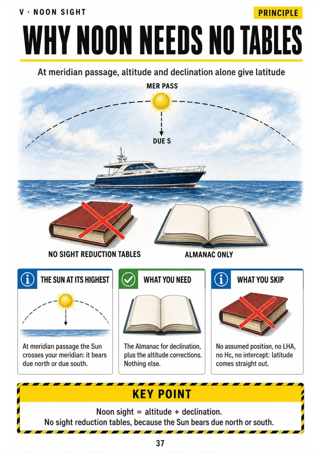
The same goes for index error, dip, the d correction, LHA and the noon sight: each one has its own page, drawn the same way.
Next time you plot without opening the manual: AP, Zn, intercept, line at 90°. And the position lands at sea, not 40 miles inland.

The sky as a chart, the sextant and its corrections, time and the almanac, the sun sight, the noon sight, stars and compass checks, ocean passage planning and revision: 65 pages, all illustrated
Think of it this way:
It's the end-of-course assessment. You're handed a sun sight: Hs, the time, your height of eye. You need a position line, and your pencil stops at the first box.
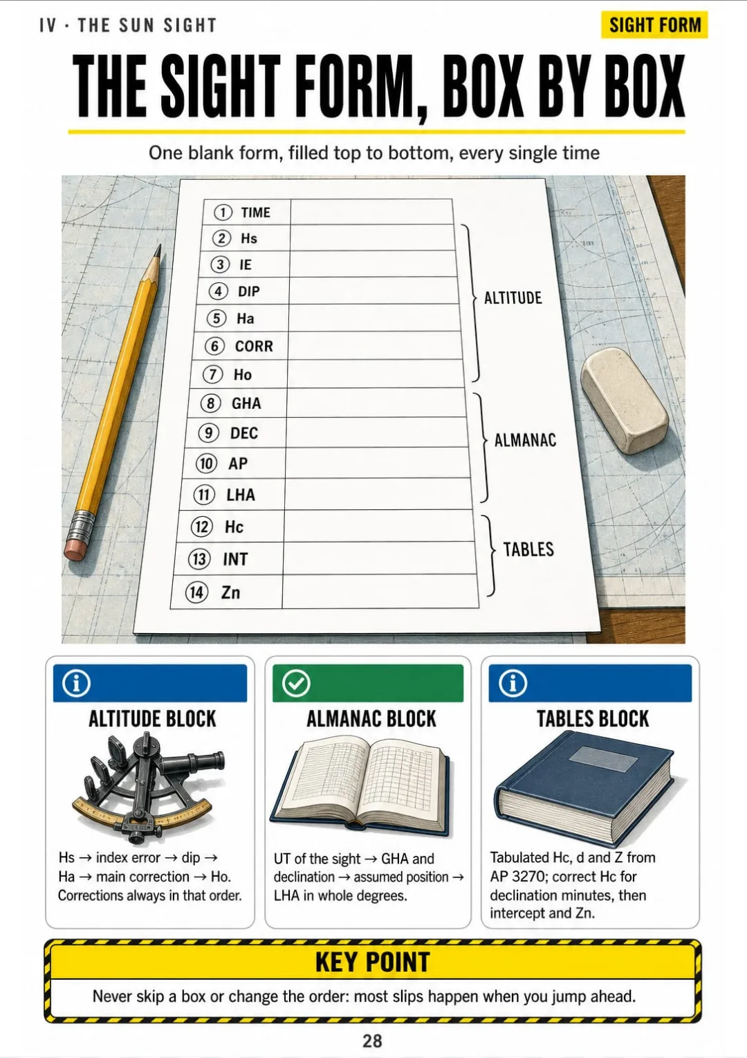
In the book you open the page for the sight form and every box is drawn in order: Time, Hs, IE, dip, Ha, corr, Ho, then GHA, Dec, AP, LHA, Hc, intercept and Zn. You fill them in from top to bottom.

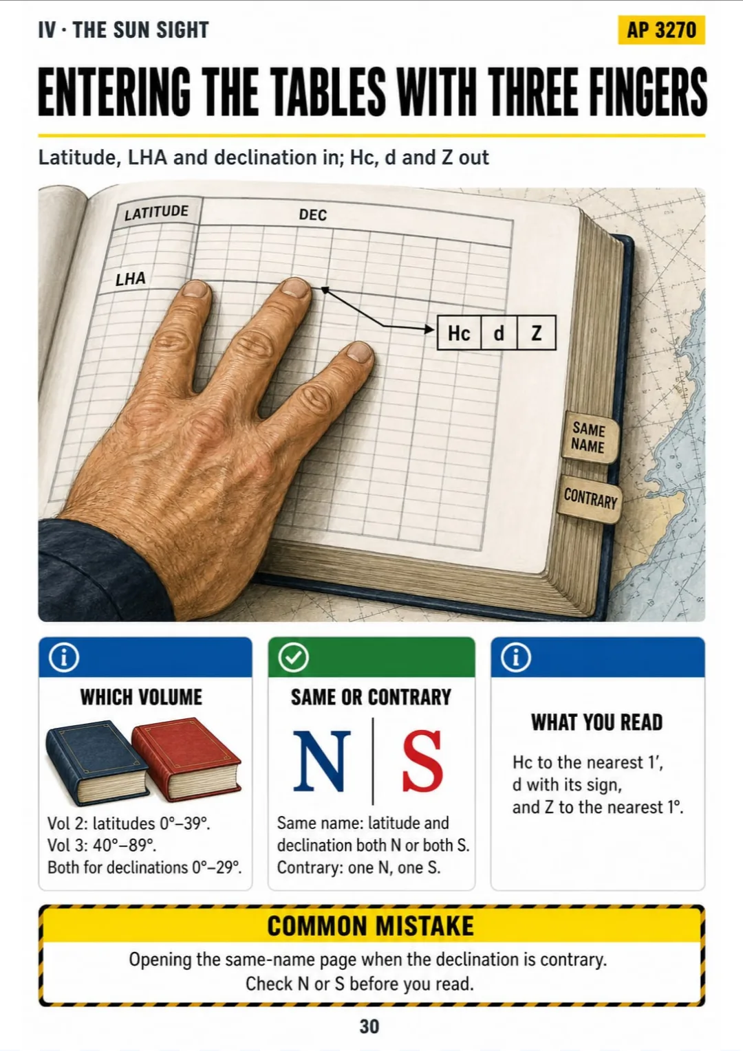
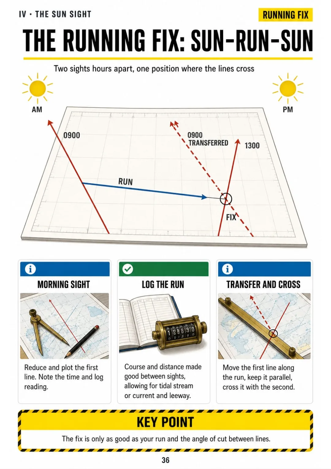
The same with dip, the d correction, the noon sight, the running fix and the three-star fix: each one on its own page.
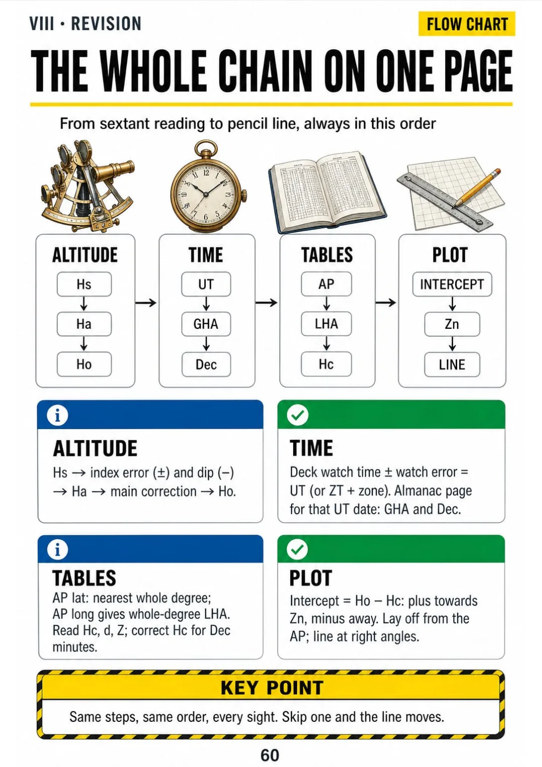
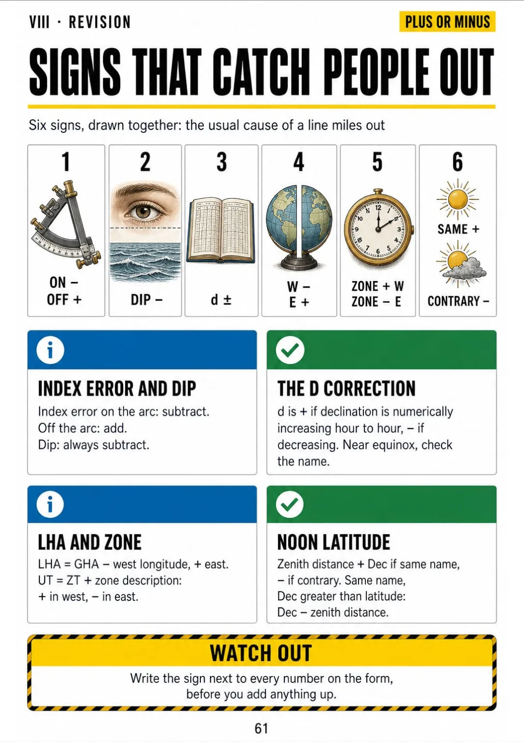
Ocean Celestial Navigation Illustrated is 8 parts and 61 topics, all drawn, with the whole chain on one page, the signs that catch people out and the questions most often asked in the end-of-course assessment.
What you see drawn, you don't have to memorize.
Why a sight gives a line, the celestial sphere, geographical position, declination, GHA, LHA, altitude and the navigational triangle without formulas
The parts of a sextant, a sun sight on a moving deck, index error, side error, dip and the altitude correction table
Arc and time, zone time to UT, chronometer error, the daily pages, increments, the d correction and twilight times
The sight form box by box, the assumed position, the tables, the intercept, Zn, plotting, a worked sight and the running fix
Why the noon sight needs no tables, meridian passage, latitude by meridian altitude, a worked noon sight and Polaris
GHA Aries and SHA, twilight star sights, selected stars, pre-computing, a three-star fix, planets, the moon and compass checks
Great circle or rhumb line, routeing charts, wind belts and currents, tropical storm seasons, weather, provisions, watches and safety
The whole chain on one page, the signs that catch people out, sanity checks, most-asked assessment questions, glossary and a passage checklist
At the end of the book: The whole chain on one page, the signs that catch people out, sanity checks before you plot and a glossary.

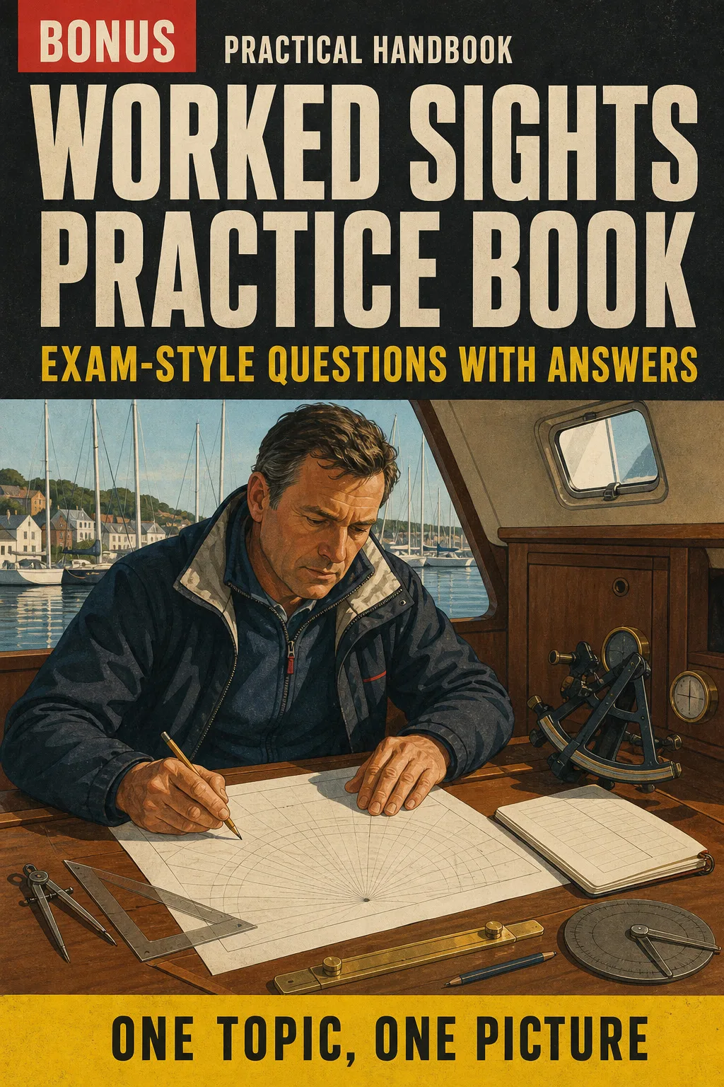
Practise sun, noon and star sights from start to finish, then check every step against a fully worked answer, the way the end-of-course assessment asks.

See the slips that throw a position line miles out (the wrong sign on index error, dip forgotten, zone time not converted) and the corrected version next to each one.
📄 This is a digital PDF book sent to your email: nothing is printed or shipped.
PDF by email: We email you Ocean Celestial Navigation Illustrated as a PDF, together with the two free books. It's a single payment: no installments, no extra charges.
Each evening's topic is one page you can open next to your homework, with the boxes in the same order your instructor uses.
The whole chain on one page and the signs that catch people out, so you revise the order, not twenty loose names.
A printable book for the chart table: sun, noon and star sights worked the same way every time, if the GPS ever lets you down.
📄 This is a digital PDF book sent to your email: nothing is printed or shipped.
Try Ocean Celestial Navigation Illustrated for 30 days, bonus books included.
We refund everything if the file won't open, if the book isn't what you see here, if you were charged twice or if the email doesn't arrive. Just email us.
You pay once. No subscriptions.
Yes. It assumes you can plot on a chart and starts celestial navigation from the beginning: the sphere, the sextant, the almanac. If you've never done any chartwork, start with coastal navigation first.
From the current syllabus of the RYA Yachtmaster Ocean shorebased course, The Nautical Almanac and AP 3270, the tables used on UK ocean-level courses. Worked examples use figures written for this book, with every value you need given on the page, so you can follow them without the almanac open. They are not reproduced tables: on passage, always use the current year's almanac.
No. It's independent study material, not affiliated with or endorsed by the RYA or HM Nautical Almanac Office. They're named only to say what the book covers.
No. It's a study and revision companion. It doesn't replace a course with an instructor, practice at sea or the official publications you carry on board, and it doesn't give you a certificate: that comes from your course. What it adds to your manual and your textbook: every step on its own drawn page, the whole chain on one page and the signs that catch people out.
No. They're written for this book, in the style of an end-of-course assessment, with every step worked in the answers.
As a PDF by email, to the address you enter at checkout. The two bonus books come the same way.
No. It's a one-off payment.
Yes. The PDF prints on A4 at home or at a print shop, so you can keep it at the chart table. The worked sight forms in the book print too. Blank sight forms and plotting sheets to fill in for your own practice are an optional extra at checkout.
You have 30 days. We refund everything if the file won't open, if the book isn't what you see on this page, if you were charged twice or if the email doesn't arrive: just email us.
No more rereading notes that don't stick.
Index error, dip and the intercept: you see them drawn, and that's it.
You reach the assessment knowing where every box goes.
Drawings make studying faster.
The book is right below.
One-time payment: US$ 27 · Guarantee: 30 days · PDF by email
YES, I WANT OCEAN CELESTIAL NAVIGATION ILLUSTRATED FOR US$ 27📄 This is a digital PDF book sent to your email: nothing is printed or shipped.